Copyright © 2026 · All Rights Reserved · Ray's Travels
Swell Lite from Organic Themes · RSS Feed · Log in
Days 4-6 on the river
After a couple of days we are pretty well settled into a routine similar to that of touring on bicycle or backpacking. The unique aspects of a paddling trip is having to organize everything in the boat so the weight is balanced side to side and everything is tied down to avoid a yard sale if the boat gets flipped. The bank tended to be somewhat muddy and a little slippery but not as bad as we thought it would be based on other trip reports we had read.
One surprise was just how few people we saw every day. We might go an entire day and not see a single person, or a couple of days and see only one other canoe. We were taking 12 days to complete the trip compared to 7-10 for others and we started on Memorial Day weekend so we expected to see a stream of canoes passing us. Not so, this truly was remote terrain with few people around.
Over the course of the trip we saw a surprisingly small amount of animal life. While the desert has a relatively low density of mammals and birds, the unobstructed views allow you to survey enough to see more than you might expect. I saw more wildlife while living in Tucson, Arizona than I ever did in the woods of the Appalachians. The coolest encounter we had was a bat that was swooping by my head over and over as we sat in the dark. Somehow Dave managed to get a couple of pictures. These photos weren’t specifically from the days noted in the title of this post.
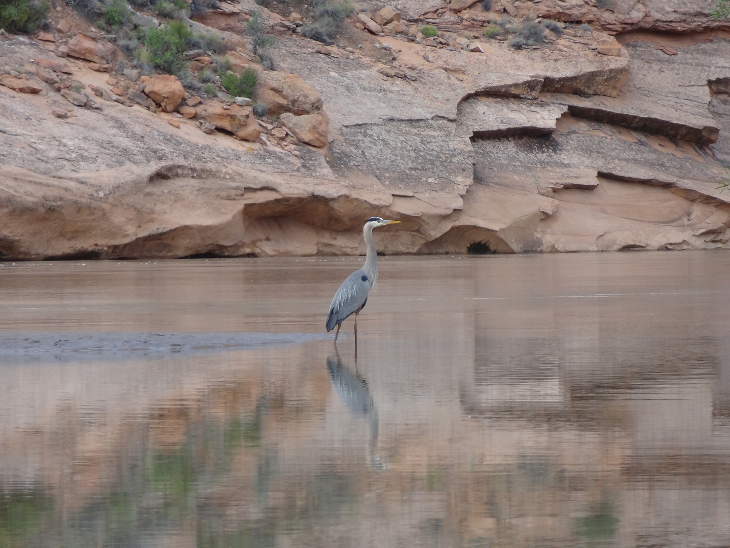
A Great Blue Heron posing for a photo as we carefully glided past
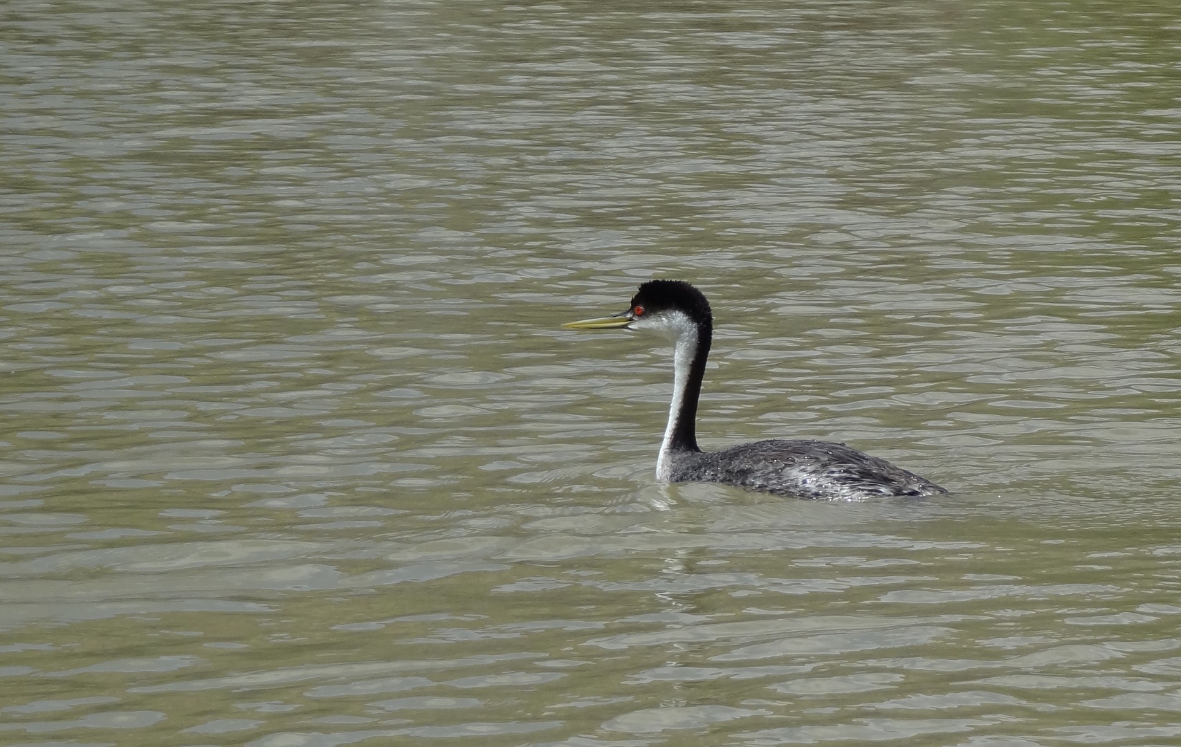
Cool looking guy, whatever he is
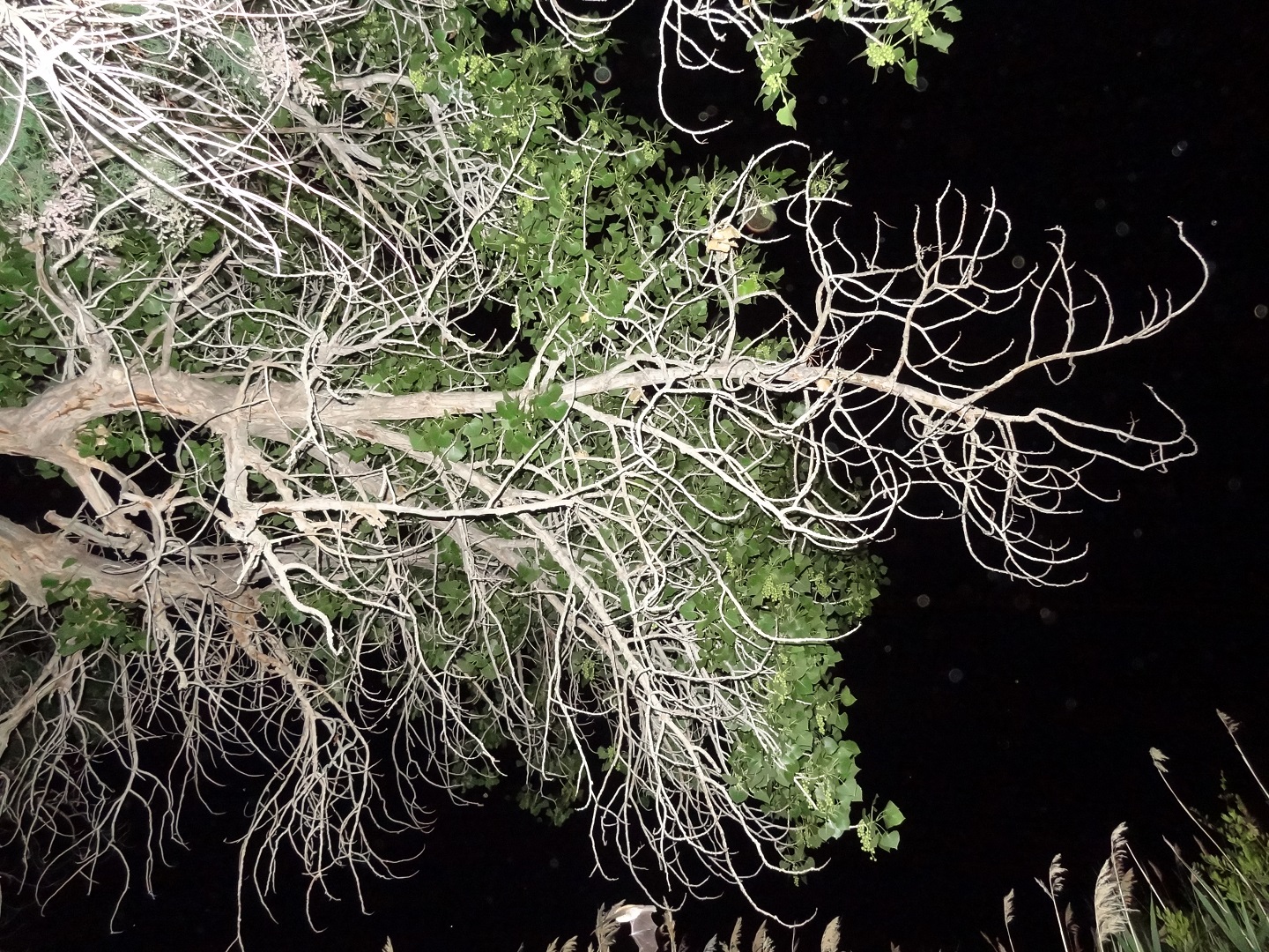
Dave managed to capture an image of this bat that was swooping by my head (center bottom)
The Canyonlands has evidence of many groups of people that have passed through or called it home, dating back over 10,000 years. Hunter-gatherer communities left little other than rock art (examples are in Horseshoe Canyon, though we didn’t see them). They roamed in search of wild plants and animals and never built structures and left almost no artifacts.
Around 2,000 years ago the ancestral Puebloans (Anasazi) and Fremont people were relying on domesticated plants (maize, squash and beans) and animals (they bred dogs and turkeys) and left behind ruins and petroglyphs all over the canyons. We did get to see some of those.
In the late 1700’s and early 1800’s Europeans explored the area, creating the “Old Spanish Trail” which was a highway of sorts that passed through the Green River area. Beaver and Otter pelts were highly sought after. It is believed that the demand for these drove some explorers to this area. It’s hard to imagine, in today’s economy, that it was worth spending many months of one’s time to travel this rough terrain, at risk of your life, to trap a pile of pelts to bring back to sell. We have come a long ways, indeed.
During the mid and late 1800’s the Mormons were eventually able to settle the area. Ranchers used the region for winter pastures with many areas bearing their names today. The 1950’s and 60’s brought uranium miners (see the prior blog post for pictures) and Canyonlands was made a National Park in 1964.
The pictures below show some of the ruins and artifacts we saw during our trip down the river.
I suspect much or all of the info here is rooted in work done by the National Park Service. They have spent considerable effort researching the geology, geography and history of our country. Get your tax money’s worth and read more here: http://www.nps.gov/cany/planyourvisit/upload/history_web.pdf
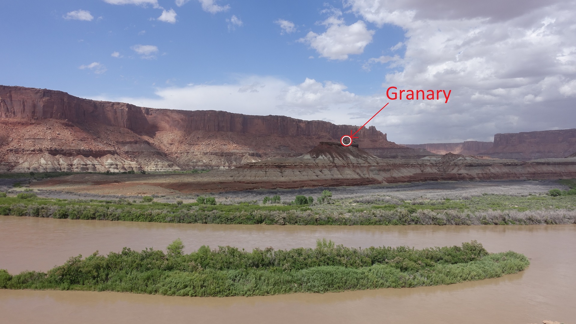
The Puebloans built what looked like a granary on top of this mesa. The climb up is significant, not a 5 minute jaunt. You can only approach from one side and just short of the top you have to scale a short wall. This is a site that could be very well defended from attackers.
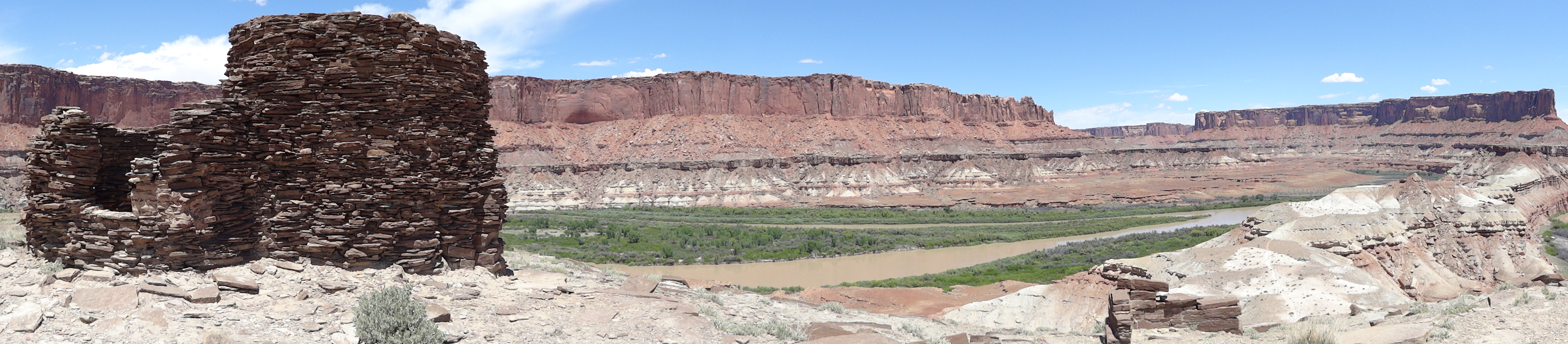
Grain storage at the top of the long climb.This was very well protected from anyone that might want to steal food for the winter.
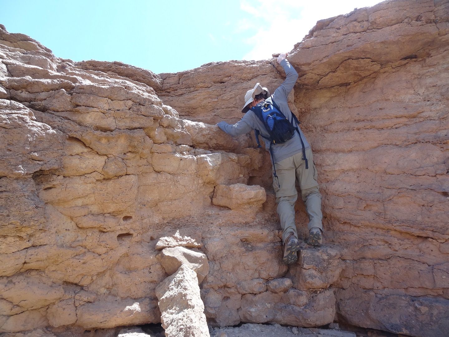
Just short of the top you have to scale this wall which wasn’t terribly bad going up but quite a scare coming back down as there are almost no good spots for your hands to grab hold.
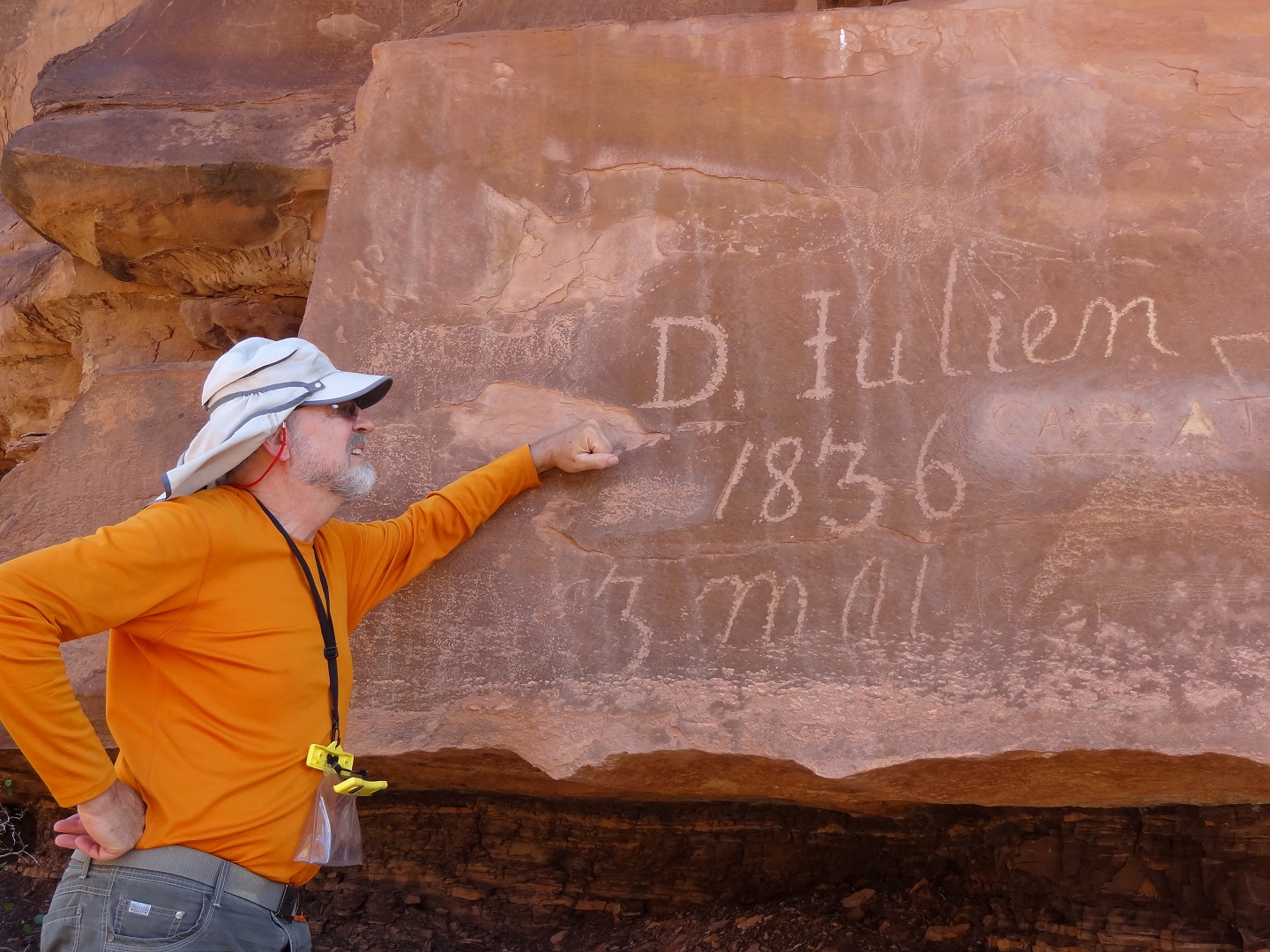
Dave is quite the history buff and was soaking in the presence of our predecessors. Denis Julien (AKA Mr. Bad) pecked his name on May 3, 1836 in Hellroaring canyon. He was a French Canadian fur trapper and one of the first Europeans to explore the area. The sailboat next to his name (next image, below) supports the belief that he sailed up the Green River against the current. He is also believed to be the first to navigate Cataract Canyon (and in a canoe) which is pretty impressive even in a modern boat.
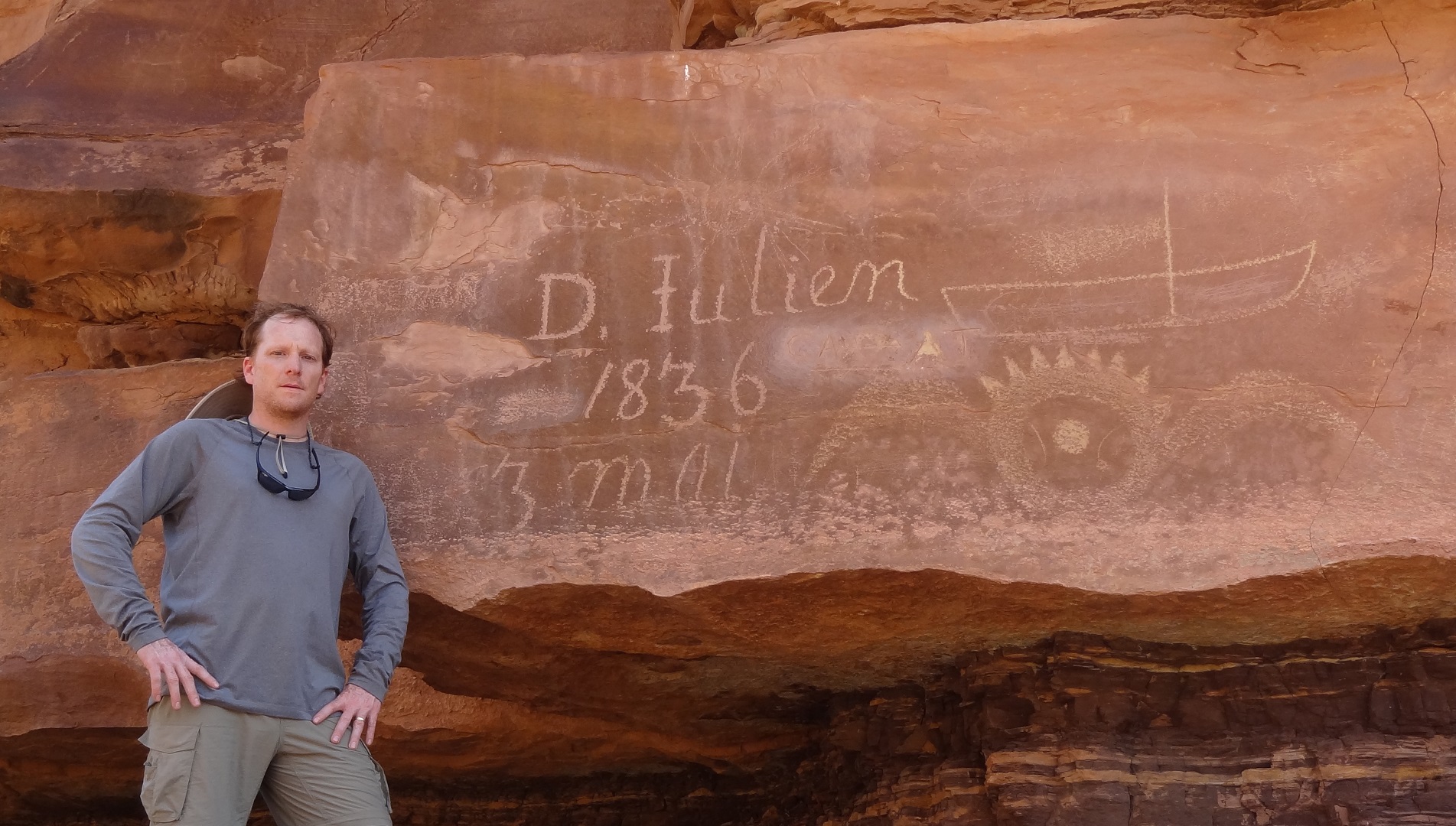
I thought it was cooler than I look but really included this shot to show the sailboat
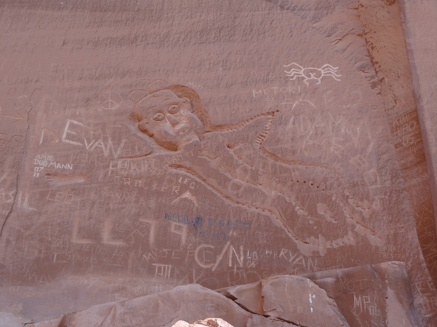
The River Register at Lower Bull Bottom, an informa; place for contemporary travelers to leave their mark. There are hundreds of inscriptions, some of which you can peruse here.
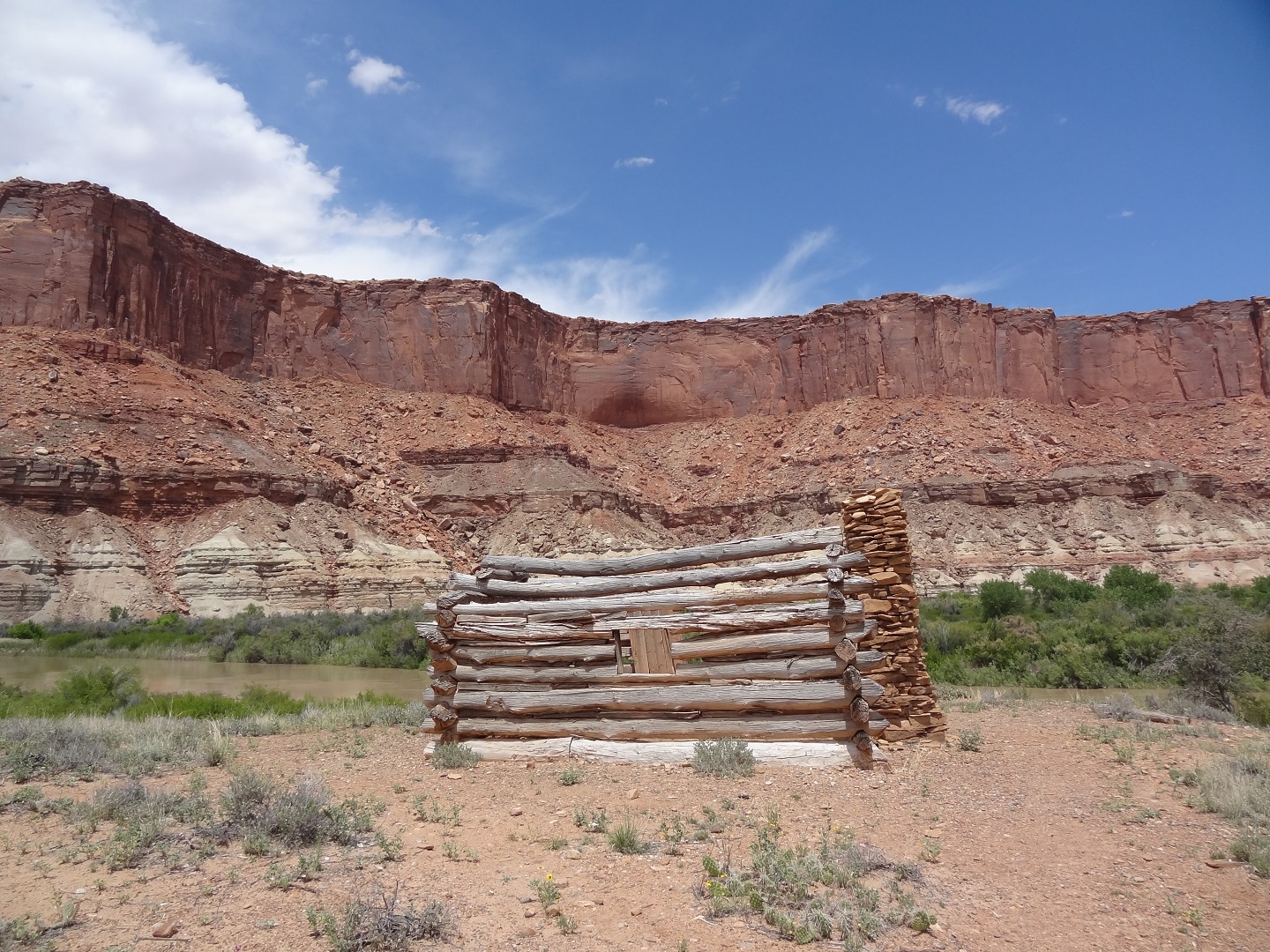
A log cabin that was used by ranchers and other travelers over the years
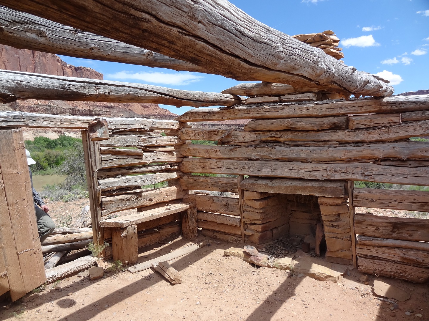
Nostalgic images of a warm fire on a cold night, starry skies, “out west, young man” come to mind.
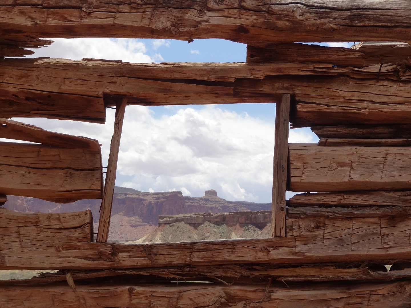
Not a terrible view, I must say
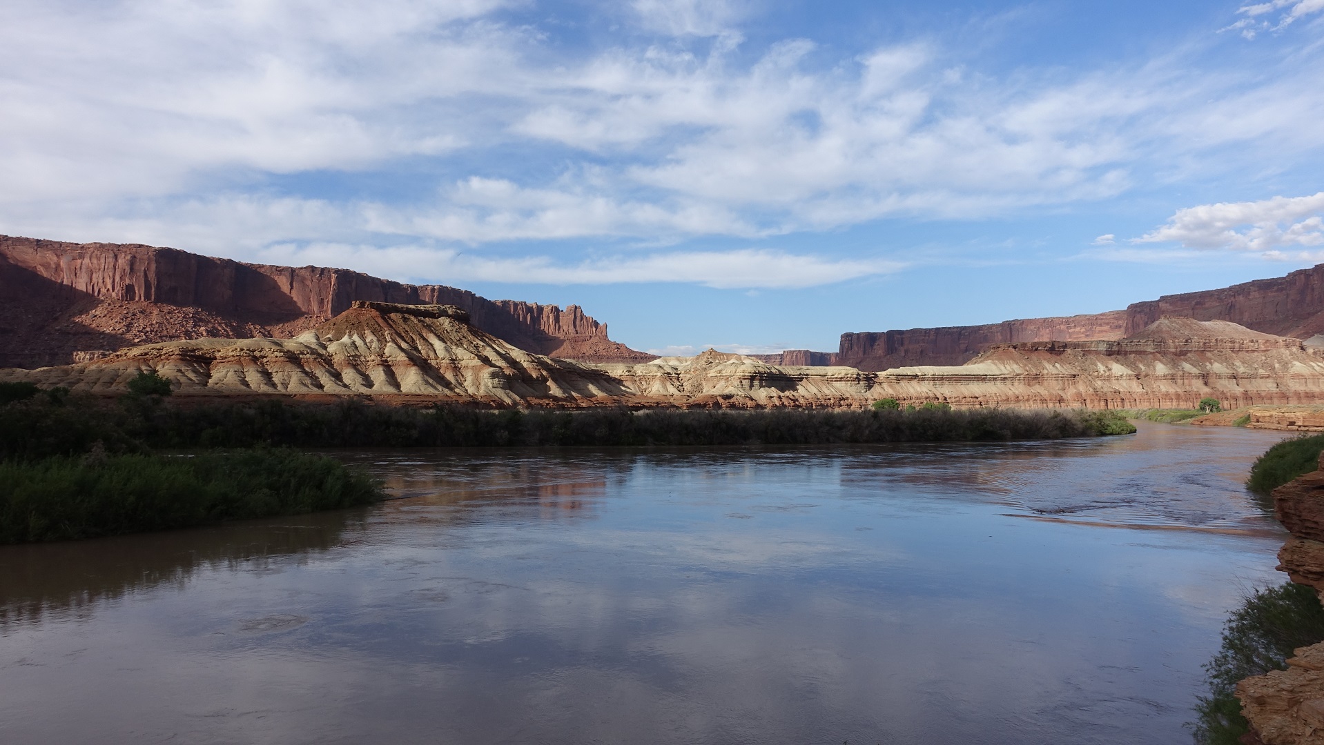
I’m used to hiking along, arriving at an overlook, seeing a cool tree, or otherwise suddenly being struck by the urge to take a picture. Almost every inch of this trip was scenic enough to warrant taking a picture which meant we had to actually remember to get our cameras out now and then if we wanted to preserve images for another time.
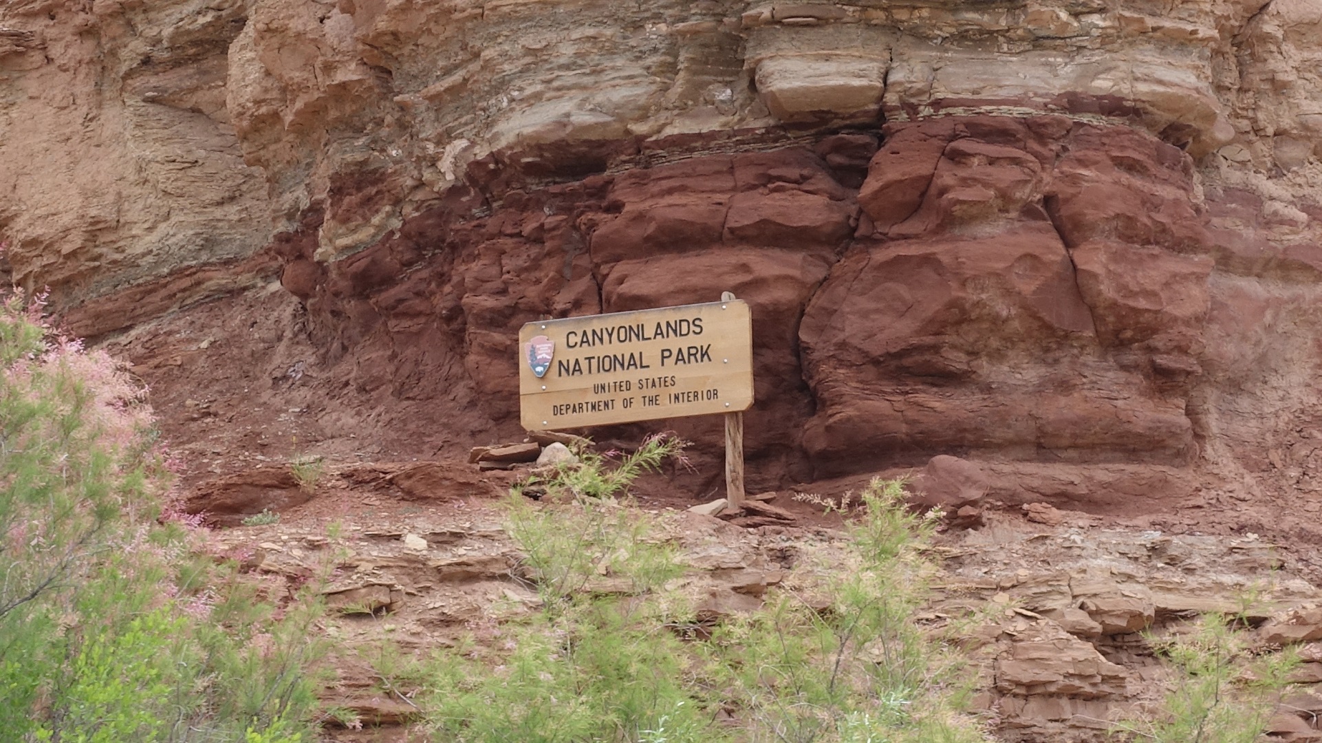
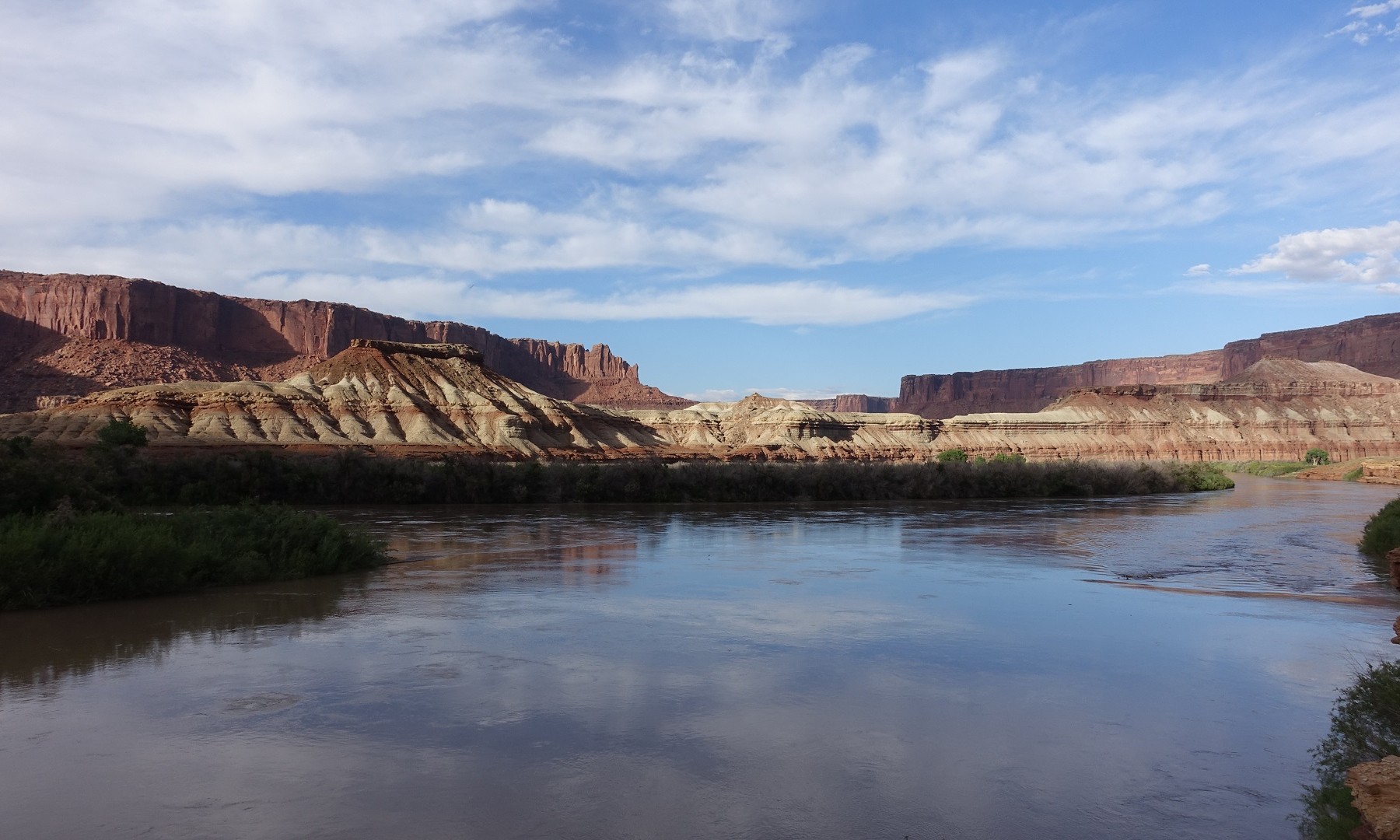
We officially entered Canyonlands National Park Today!
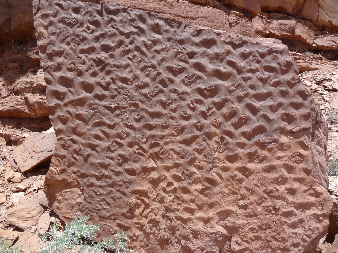
A very cool rippled pattern we occasionally found in rocks in the canyons.
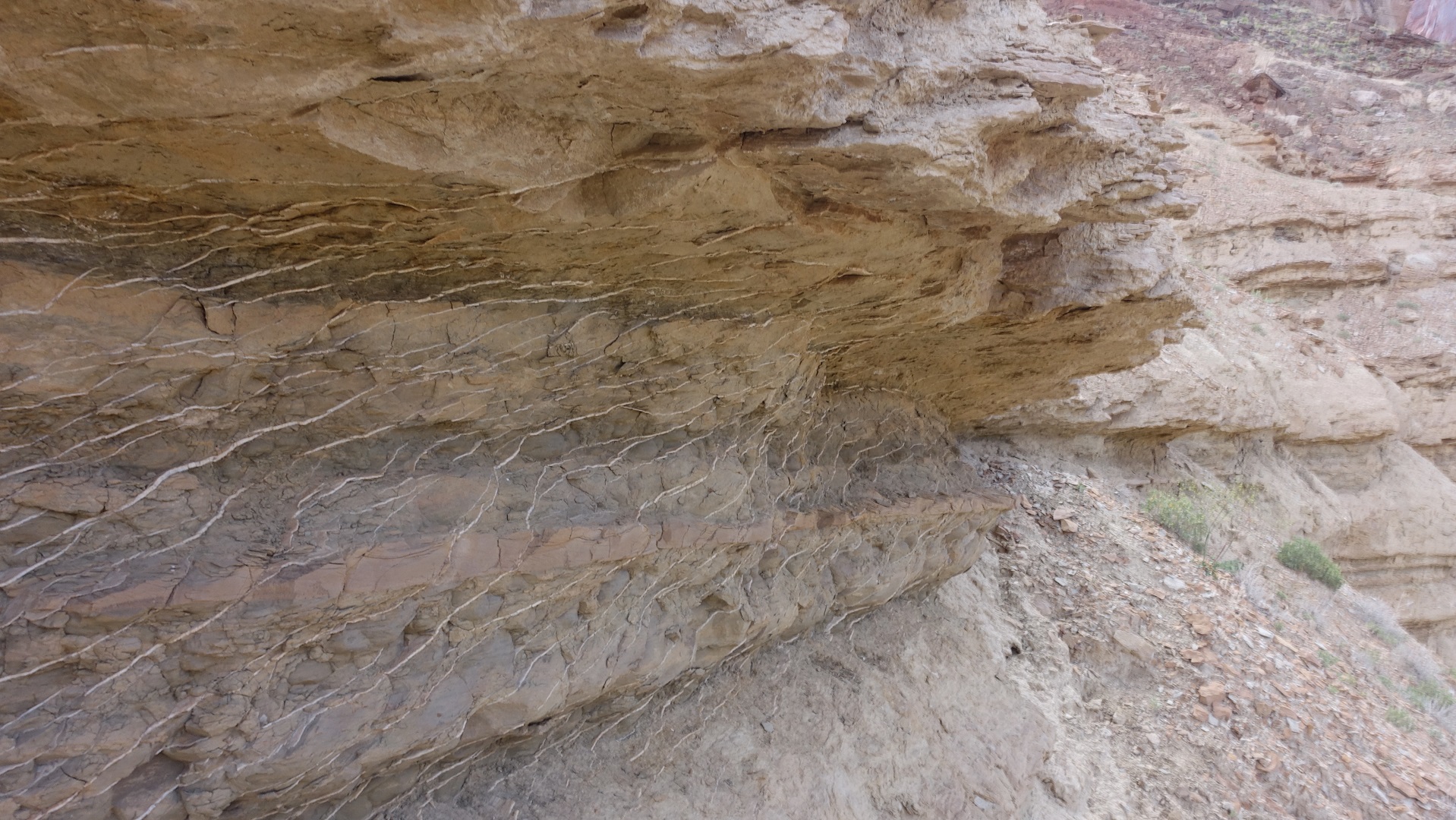
Another cool pattern of some type of material layered in the sediment. The stripes are about 3/16′ thick.
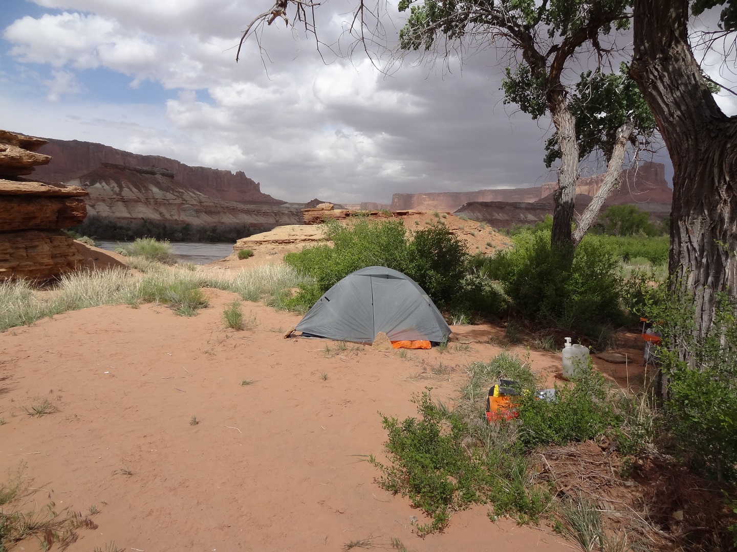
View from camp
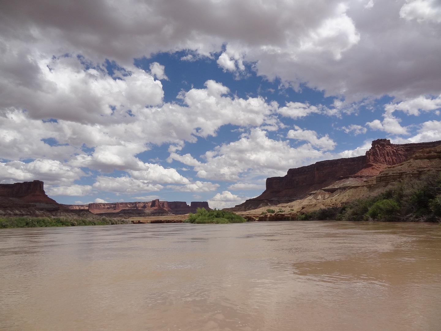
The scenery was pretty much ALWAYS this gorgeous while we were paddling. We really had to remember to take pictures.
Rain in the distance. It got very windy, at least 40 mph which made us grately not to be on the river for fear of being flipped. Two other guys we talked to barely made it through that storm.
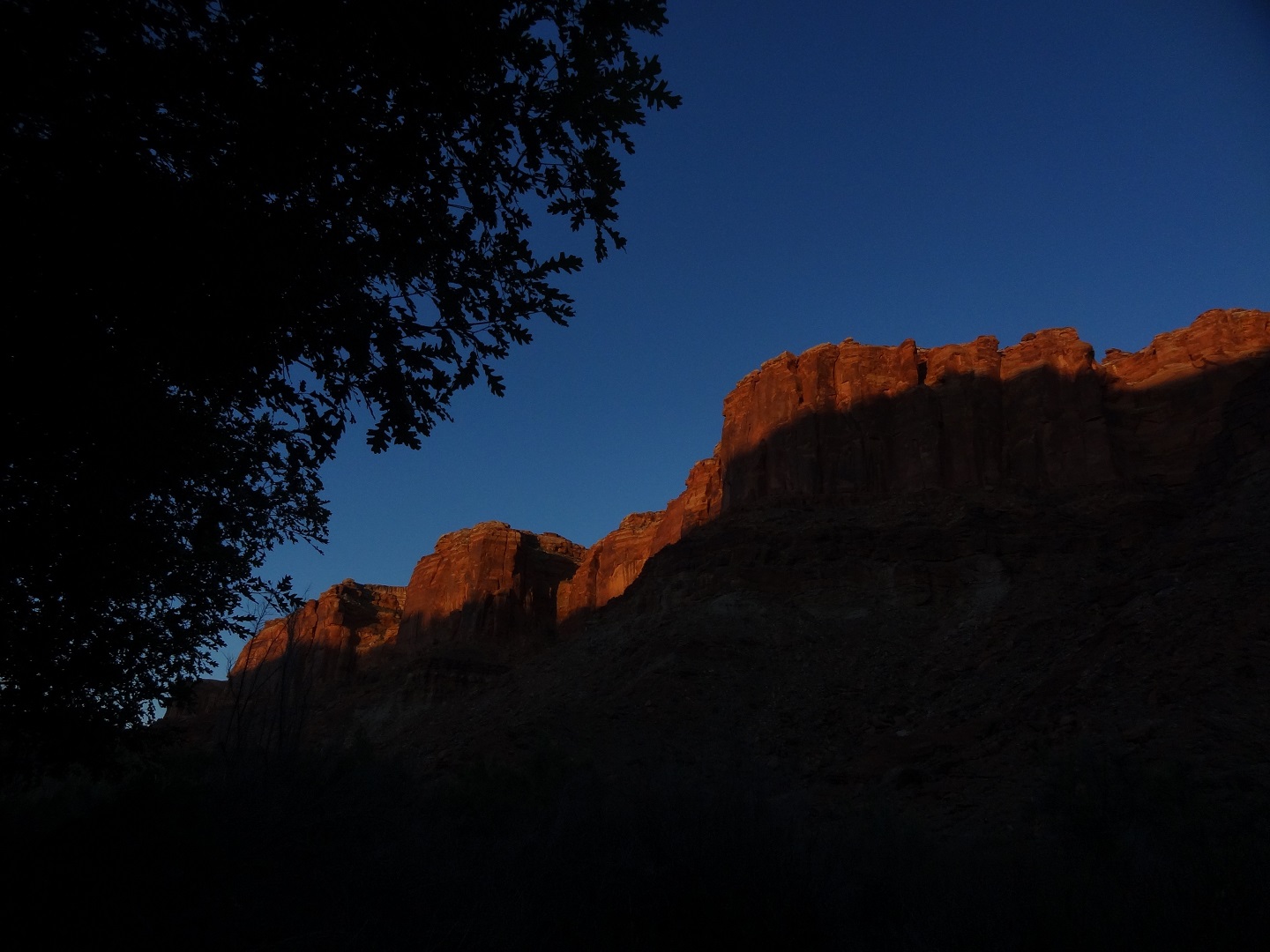
The sun sets on another amazing day on the Green River. Truly epic.